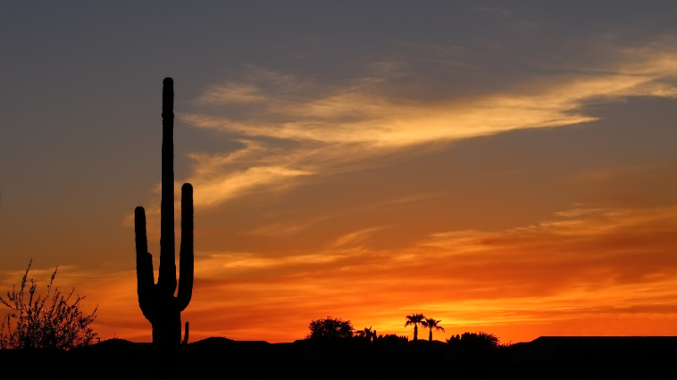
October Overview –
October 1 was a holiday in Mexico, a holiday that only comes around once every six years for the inauguration of Mexico’s newest president. We made use of the day finishing up our August/September blog then spent some time in the afternoon simply relaxing.
The rest of October was spent trying to keep cool and shopping on Amazon. We are getting closer to storm season ending which means we will be able to bring all our patio stuff out of storage again. Each year it’s like working with a blank canvas, deciding how we want our patio to look/function for the upcoming season.
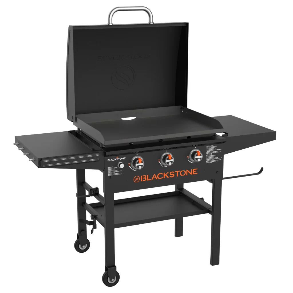
This year the new addition to our patio will be a Blackstone grill. We already have a big Weber propane barbeque, and over the past few years, have wondered if we should add a Blackstone.
Since we cook outdoors most of the year, we decided this was the year we would finally get one. Lorne is super excited to be able to make his favourite smash burgers on the new flat top grill. I am sure we will be making great use of this new outdoor cooking area in this coming patio season.
October was still way too hot to be outside doing much. For more than half the month, our daytime temperatures were 35C (95F) or higher, with a “feels like” temperature of over 40C (105F). Usually by October we start to see some cooler days creep in, but this year, since we had no storms in October, the heat just stayed around. We are (impatiently) counting the days until the temperatures drop and we can enjoy the outdoors again.
The Baja
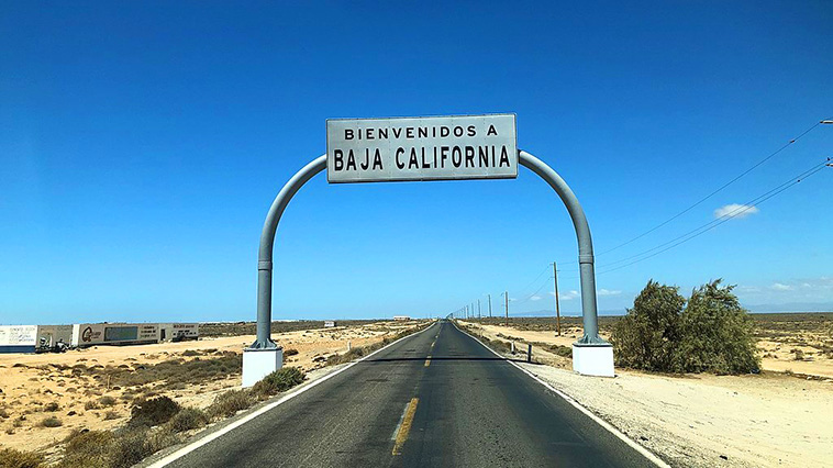
The Baja California peninsula is a peninsula in northwestern Mexico that separates the Gulf of California (also known as the Sea of Cortez) from the Pacific Ocean. The peninsula extends from the US-Mexico border in the north to Cabo San Lucas in the south.
The length (as the crow flies) is 1,247km (775 miles), and the width ranges from 40 km (25 miles) to 320km (200 miles) at its widest point. There is approximately 3,000 km (1,900 miles) of coastline and 65 islands.
Fun Fact:
Driving from Vancouver BC to San Diego CA
takes approximately 22 hours (2249km / 1405mi)
along the I-5
Driving from San Diego CA to Cabo San Lucas BCS
take approximately 20 hours (1698km / 1055mi)
along the Mexican Federal Highway 1
The drive along the Mexican Federal Highway 1 (also known as the Transpeninsular Highway) is one of the greatest desert drives in North America, but also can be one of the most dangerous.
Seasoned Baja drivers always caution people to never drive on the highway at night. Two major reasons not to drive at night are:
- Animals and roaming livestock are attracted to the pavement at night because it retains heat long after the ground has turned cold, and often you will find cows roaming the highway at night. Finding a cow standing on the road after you turn a tight corner with no time to stop – let’s just say the cow always wins.
- Potholes can be large and deep, and many people drive on the centerline of the road to avoid them. You will see many people doing the “Pothole Polka”, a dance that causes them to weave erratically across the highway. At night when it’s dark, it’s difficult to see approaching potholes, especially if there are trucks with bright headlights shining right at you.
In 1931, the peninsula was divided into northern and southern territories at the 28th parallel.
Baja California
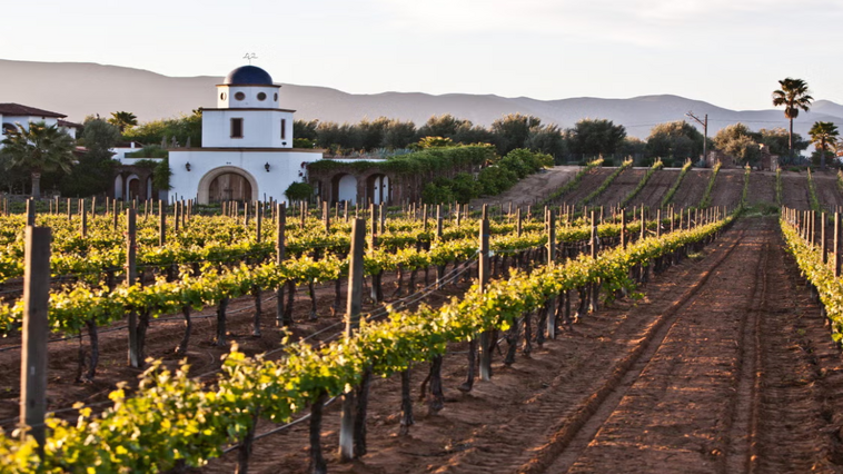
In 1952, the northern territory became the 29th state of Mexico, known as Baja California, but sometimes referred to as Baja California Norte. The capital city is Mexicali, a Mexico / US border town, neighbouring with the city of Calexico, CA (196km / 122 miles east of San Diego) on the US side. The most populous city in Baja California is Tijuana, with a population of just over 2.1 million people.
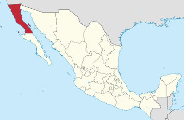
The total state of Baja California has a population of 3.7 million, which makes them the 14th most populated state in Mexico.
The state has a very diverse geography and climate. The western side experiences temperate winds from the Pacific Ocean making the climate pleasant year-round. The summers are dry and mild, and the winters are cool and rainy. On the eastern side is the Sonoran Desert that experiences hot summers and mild winters. This area experiences some of the highest temperatures in Mexico, frequently surpassing 47C/116F in mid-summer, and exceeding 50C/122F on some occasions.
The state is divided in the middle by the Sierra de Juarez and the Sierra de San Pedro Martir mountain ranges. The valleys between the ranges have a climate zone perfect for agriculture, producing citrus fruits and grapes. The Guadalupe Valley in this area is a major wine growing region that is roughly two-thirds the size of Napa Valley, with climate conditions very similar to southwestern France.
Baja California Sur
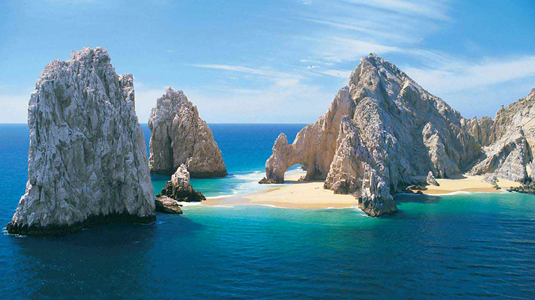
In 1974, the southernmost territory became the 31st (and last) state to join Mexico and is known as Baja California Sur. Baja California Sur (BCS), is slightly larger in area than the northern state of Baja California. The capital and largest city is La Paz, with a population of 250,000. The two most popular towns in the state are Cabo San Lucas (population 200,000) and San Jose Del Cabo (population 136,000). Together they are known as Los Cabos and rated as one of Mexico’s top tourist destinations.
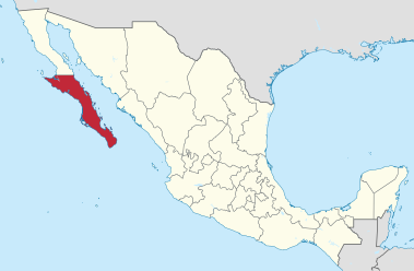
The total state of Baja California Sur has a population of 798,000, which makes them the least populated state in Mexico.
Baja California Sur also has the lowest population density in all of Mexico with 10 persons per km2 (28 persons per sq mi), compared to Baja California in the north, which has 53 persons per km2 (137 persons per sq mi).
Fun Fact:
Mexico City has a population density of
6,163 persons per km2 (15,963 persons per sq mi)
and is the most populous city in North America.
The geography of Baja California Sur is primarily mountains and deserts. The climate is dry with an average rainfall of less than 200mm (7 inches) annually. The lower elevations are the driest and hottest and summer daytime temperatures are above 40C (104F).
The exception to the desert conditions is Los Cabos, which is classified as semi-moist because of the Pacific hurricane activity that affects the region. Baja California Sur also has the largest protected surface area in Mexico, with 38% of the state being officially protected areas for flora and fauna.

With only one highway that runs the length of the Baja, and four small international airports serving the entire peninsula, Baja is truly the last unsettled frontier in North America.
Besides the freshest seafood and the endless sunshine, Baja has a lot to offer. Organic farms, wineries, deep sea fishing, surfing, off-roading, beaches, whale watching, natural beauty and the friendliest people ever. It’s truly a world apart from everywhere else.
In Review

Mexico’s Newest President
In June 2024, Claudia Sheinbaum won Mexico’s general election by a landslide, receiving the highest number of votes ever recorded for a candidate in Mexican history. On October 1st in Mexico City, she was sworn in as Mexico’s 66th president and made history once again as the first female president of Mexico and the first president from a predominately Jewish background.
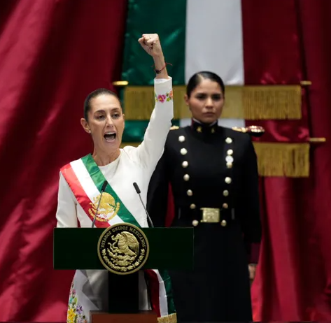
President Claudia Sheinbaum shouting
¡Viva México! after the conclusion of her inauguration speech.
She is a scientist by profession and has authored over 100 articles and two books on energy, the environment and sustainable development. She will serve as Mexico’s president until the next Mexican general election which will be held in 2030.
ps… Don’t forget to check out the latest Snippets!

Thanks for the update
Thanks Owen!
Very informative!
Cool Blackstone- all the homesteaders I watch seem to have them 😀
Thanks! Cannot wait to use the Blackstone!
Such great updates. A little break in my day that is fun and informative!
Thanks so much Tracy!
I can’t wait to have the smash burger again. I wonder if it will be different on the Blackstone. Thanks for the tips on driving the peninsula… I will just fly down for now.